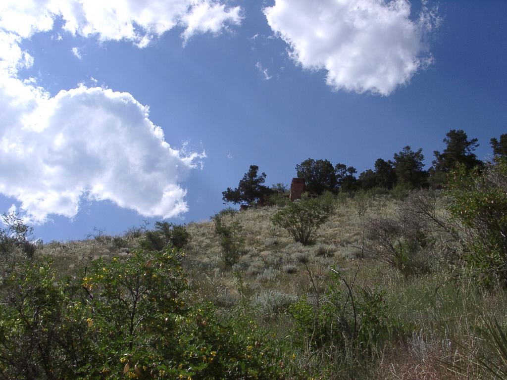
 Sky, Clouds, Ridge | I decided I wanted to hike up the Scar again | Heading up to the trail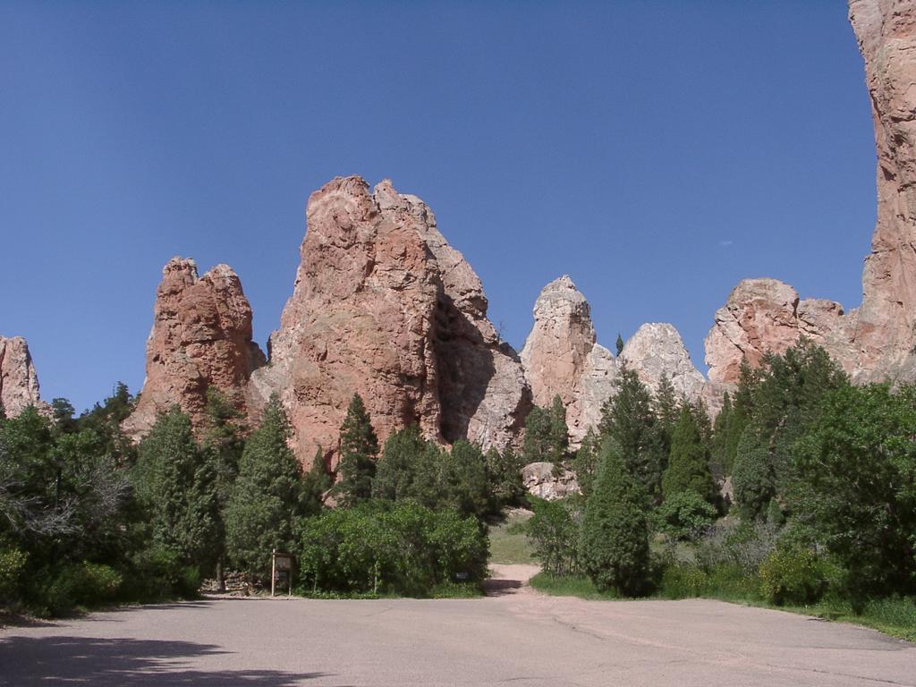 |
 Big Rock | Mostly as training for hiking up Pikes Peak hopefully around the end of July | The trail starts here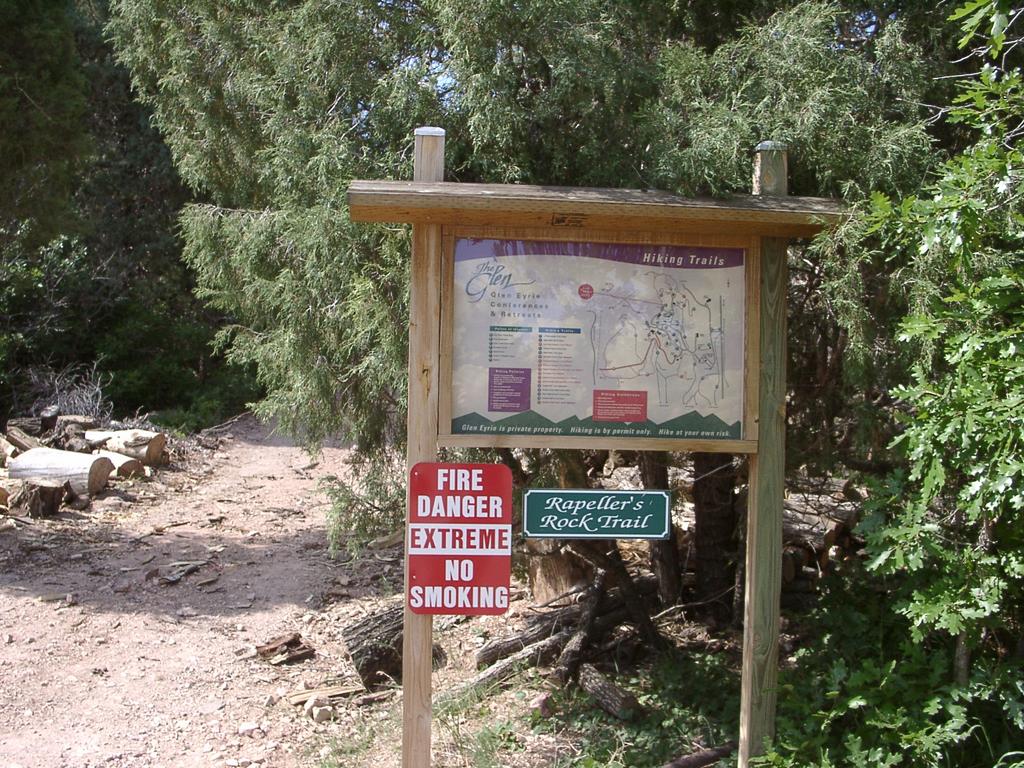 |
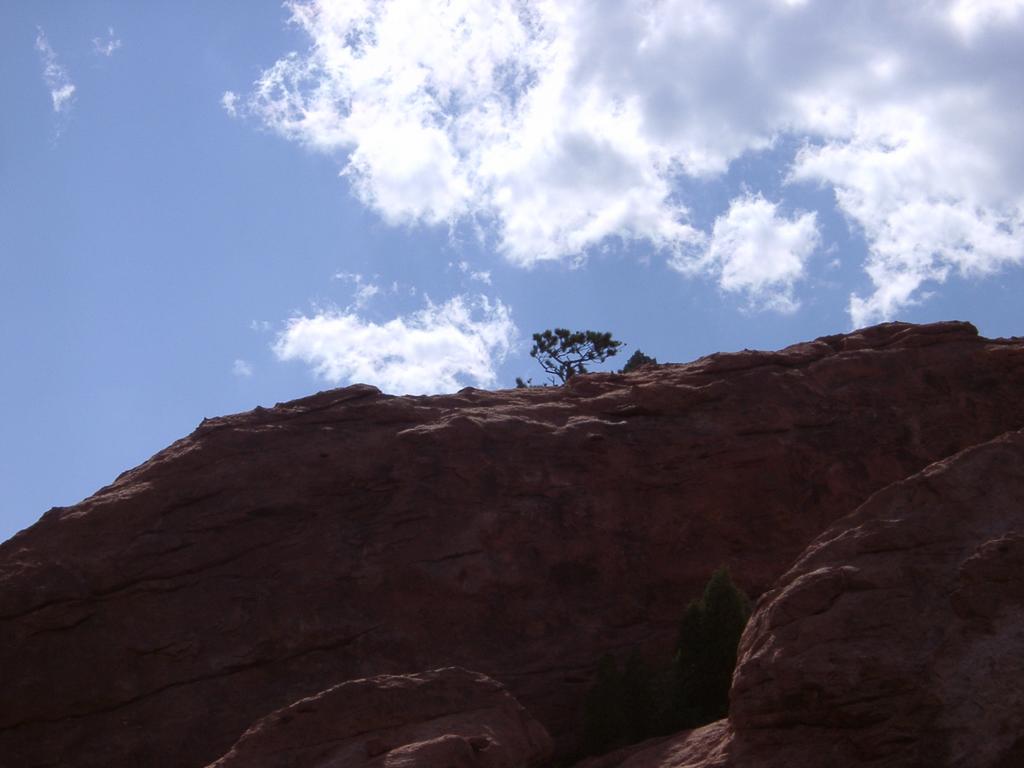
 A Magestic Rock | But also because it can have some great views | Trail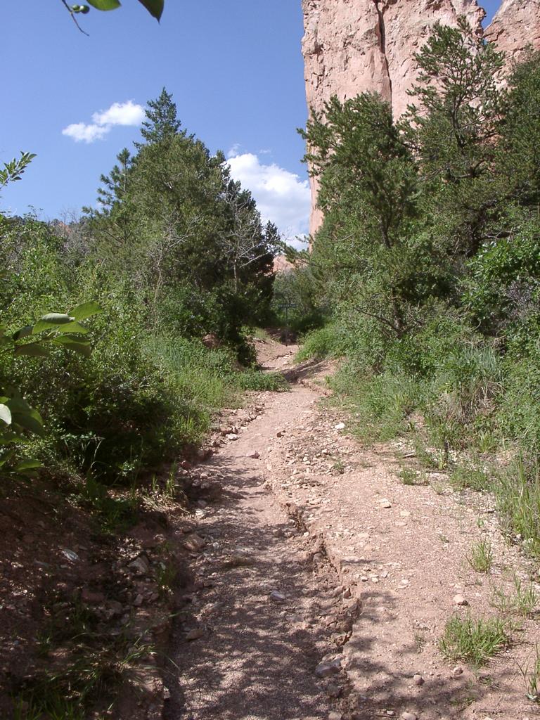 |
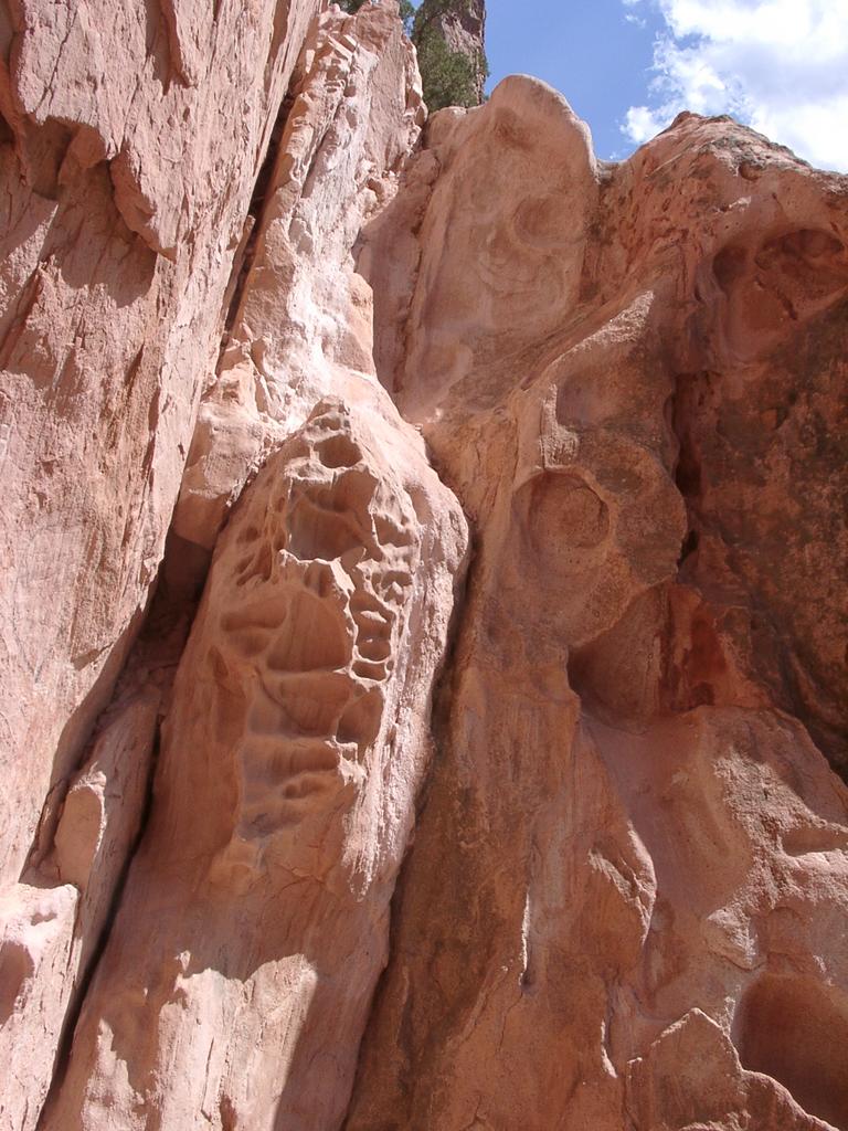 Rock Erosion | And I've heard about GeoCachingWhere you look for hidden caches by their GPS coordinates | Trail past a cavern |
 Tree hanging into the sky | So this past Wednesday, after work, I packed up my camera, my CamelBak and my GPS and headed for Glen Eyrie | Rock Formations |
 View towards Cheyenne Mountain | I also packed the print out of a GeoCache on the Scar | Road and Sky |
 Going up the Road - Hot and Sunny | There were some extra clues on the web page for the Cache on the Scar - Most sounded familiar | Sky, Clouds, Hidden Sun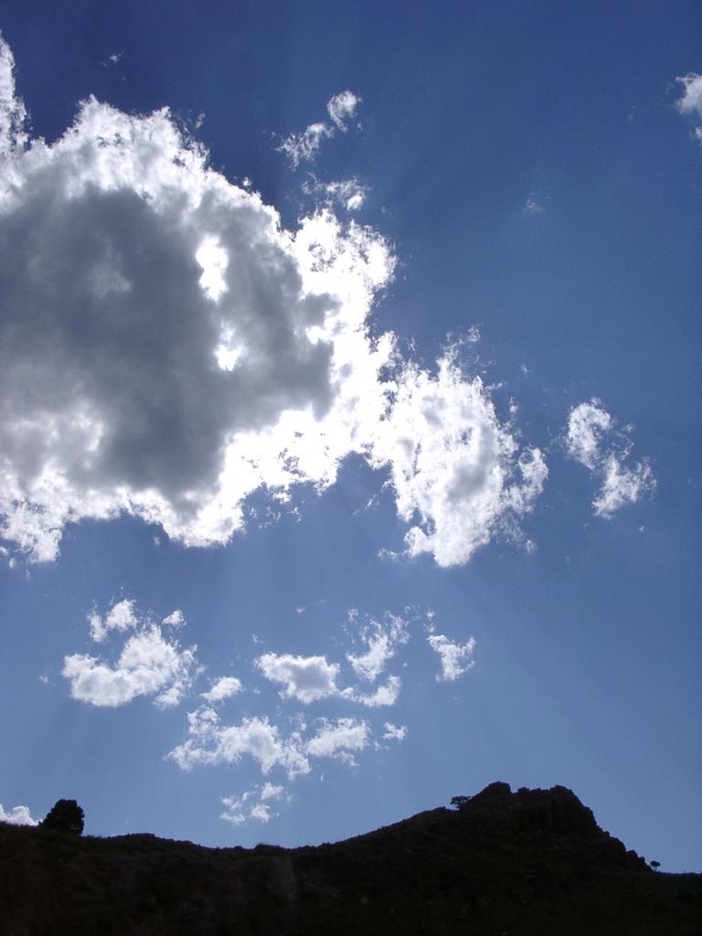 |
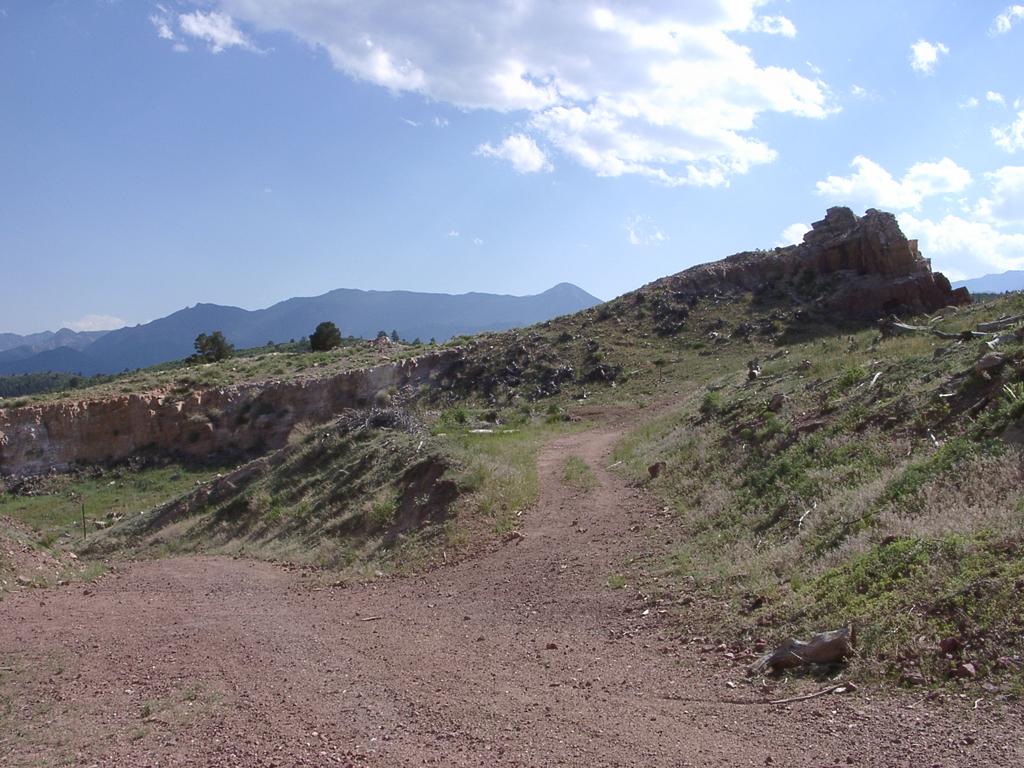 Old Road up the Scar | On my way up, checking the GPS, I thought the Cache was down this way (->) and took about 20 minutes to realize I was not headed the right way. So I decided to make it to the top of the scar, and try to locate the Cache on my way back down | Steep way down Queen's Canyon |
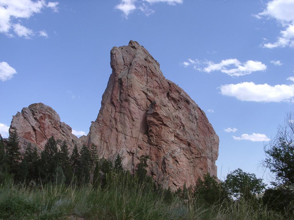
 Rocky Structures | Surprised the group of Sheep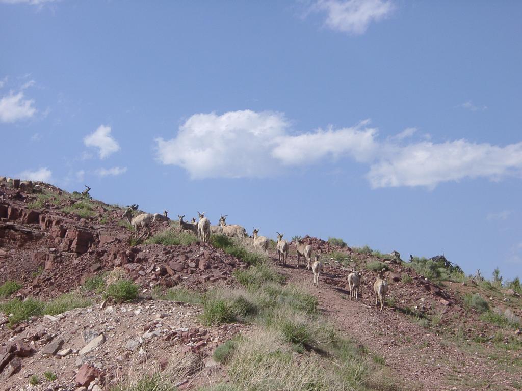 | |
 Bighorn Sheep Looking down Garden of the Gods Road | I found a couple of groups of Big Horn Sheep - I suprised them a couple of times - I even managed to split a group apart temporarily | More Bighorn Sheep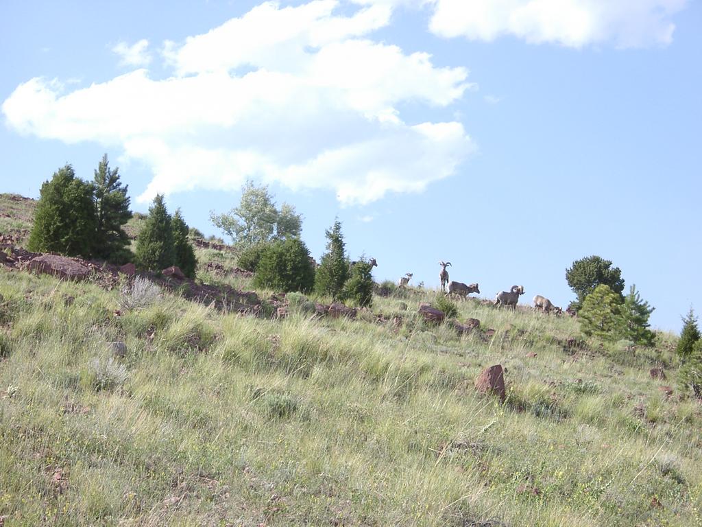 |
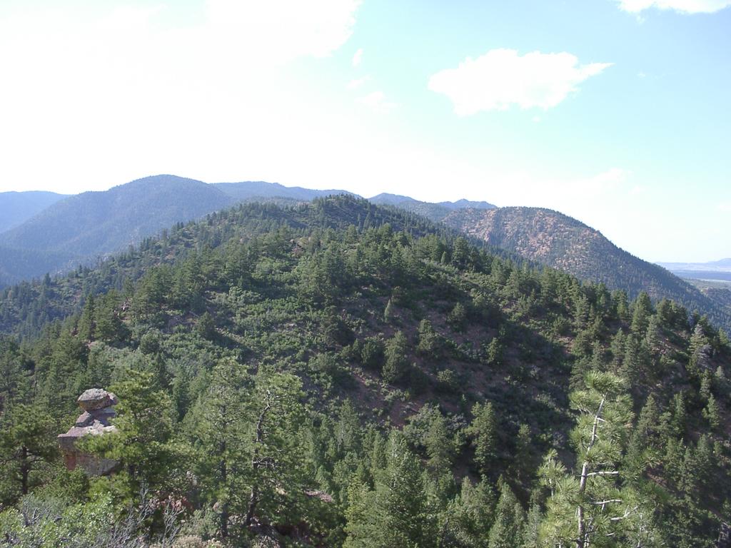 View from the top of the Scar Looking North | It took me longer than I expected to get to the top of the Scar - but it was as exilerating as ever to make it to the top | Made it to the top of the Peak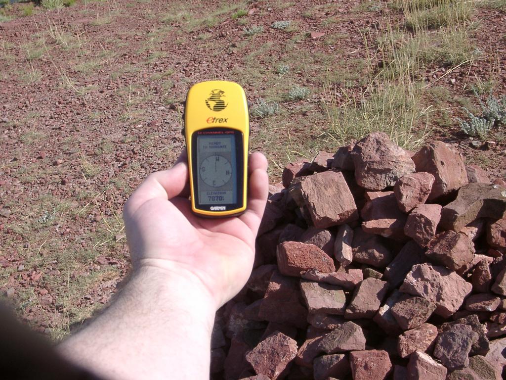 |
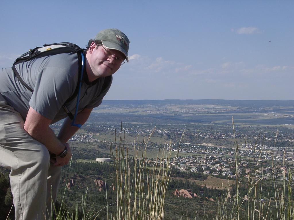 Self Portrait | (<-) A cheesy self-portrait at the top, looking NorthEast from the top of the Scar (->) and an interesting shadowy picture of Pikes Peak | Pikes Peak |
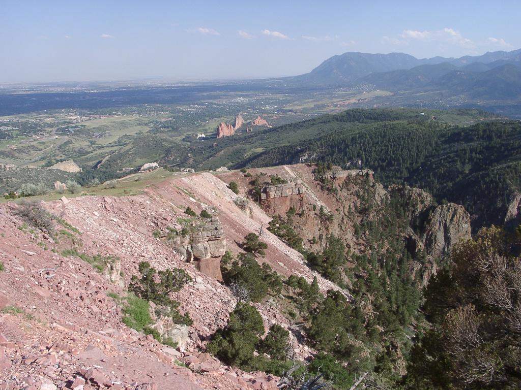 Down the back edge of the Scar | Heading back down - to the right is the valley where Dorothy Falls is located. I was sad to read that they are limiting access to the area on weekends - but it does get busy | Queen's Canyon - Dorothy Falls is down there |
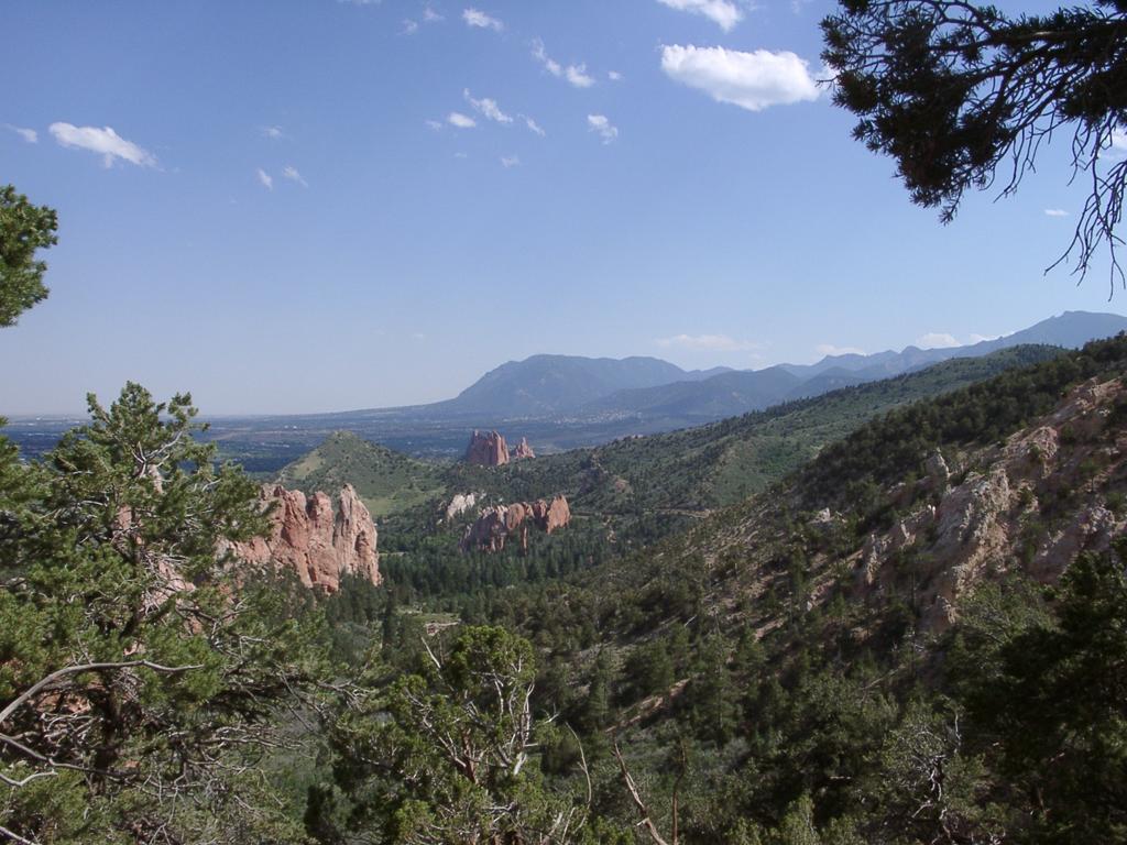
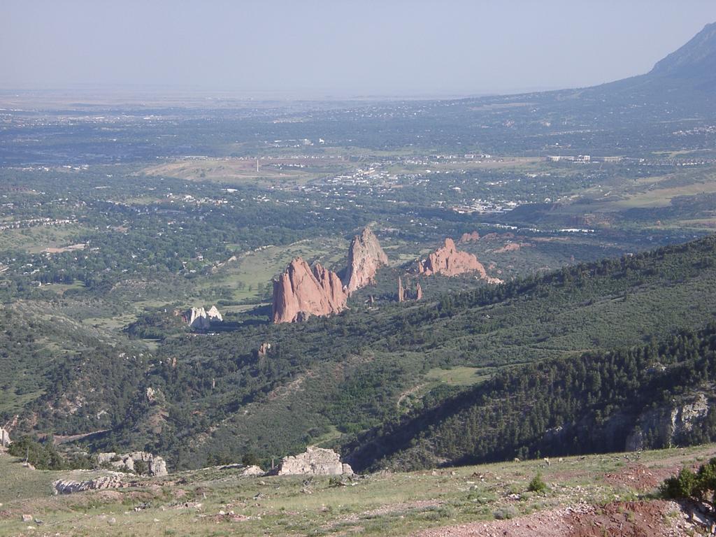 Garden of the Gods doesn't look so big from here | The views are pretty spectacular from the Scar - I filled up my 256M card with 182 pictures (says it should hold 175 when empty) And before I got all the way down, I swapped to my 340M micro drive card - to finish the day with 216 pictures | View along the edge of the Scar |
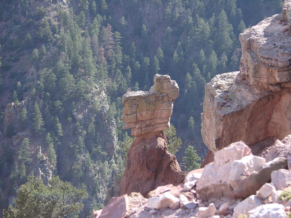 A Balancing Rock | Another Bighorn | |
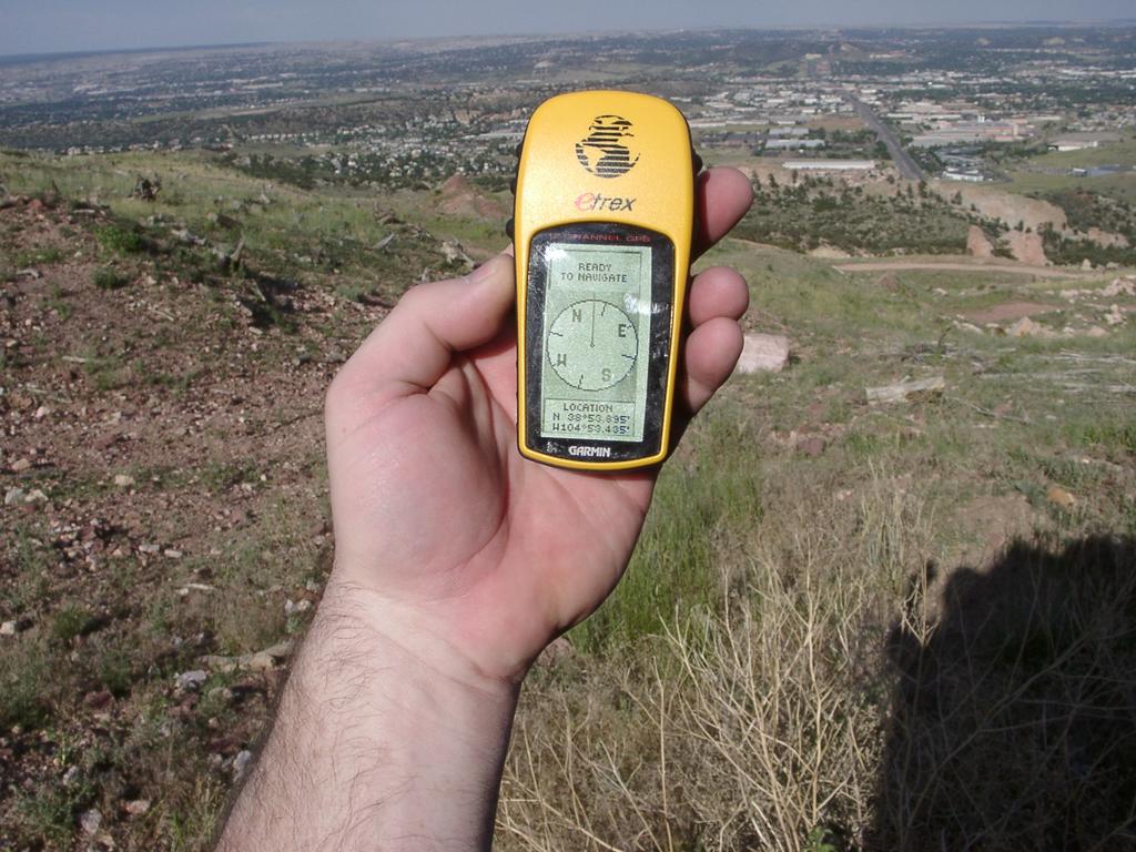 That Geocache has to be here somewhere | On the way down I looked for the GeoCache - my GPS got me within less than 10 feet! It still took a bit of searching - The cache was a small tupper-type-ware in a ziplog back, pretty well hidden. But I found it! I added my name to the log and left a nickle with my handle 'KAH731' and the symbol of a LED on the back of the Nickle. I think I'll have to do more GeoCaching! | Bench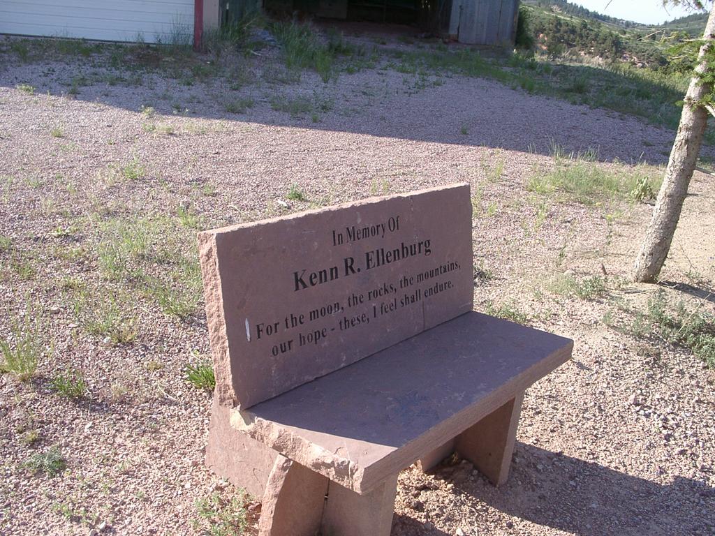 |
 Pretty Wildflowers | Interesting Weed |
Voting is different here in Colorado than it was back on the East Coast. In New Jersey, and I remember it was the same basic things when my parents voted in New York, the voting was in a mechanical voting booth. You would go to a desk and sign the big book. The would give you a sheet of paper. You would take the paper over to a voting machine. An assistant would take the paper and put it somewhere on the side of the machine. You would pull a big mechanical handle that would close the curtain behind you. Then you would flip the levers to indicate your vote. After, you would push the big handle, which would record your vote, reset the levers and open the curtain.
Here in Colorado, the beginning of the process is the same. You wait on line and sign the big book. I went with my wife, as she dropped her car off for service. At first she was going to vote before she dropped off her car. But she called me to tell me the line was an hour long. After I picked her up at the shop,...
Comments
xx