So Christmas day Sunday, but we don't do Christmas. And a day off Monday. No real plans until Sunday evening for Channukah. My toe finally feels well enough for a hike. Blodgett Peak has been calling to me for months - especially since I learned there was a geocache on top. So I get up a bit early - early for a day off from work - and head out for a hike. I don't know how far I'll get - but I want to at least get to the top of Blodgett Peak. I've got about 8 geocaches I can try for, depending on how I do. A couple are up in Pike National Forrest, past Blodgett Peak.
It is slower going than I expected. I spend more time than I wanted looking for the first 4 geocaches - I only found 2 of them. The trail is Icy and muddy. It is not a great trail - it is not well prepared like the trail going up Pikes Peak. It is very easy to lose the trail - subtle paths seem to go off in many directions. In many places, the trail seems to go up very steep, loose gravel. Step up, slide back 1/2 way. And then I get to a rock scramble. It reminds me a little of Mohonk. I notice a cairn. At first I think it is an oddity, but then I notice another. I suddenly realize that they mark the trail. The trail the curves around the side of the peak, and climbs very steeply up a boulder field. It is hard work, and takes me much longer than I expect. But I keep going. The peak is calling to me. I've got to make it.
After many, many hours, I make it to the top. I decide I need to rest and eat a bit before I try to find the cache on top. I've noticed that the exposed rocks in Colorado seem to make the GPS jump around a lot. But I try a few times, and finally find the cache. Interesting stuff in the cache, but nothing I want to trade for. I sign the 3rd and final log of the day, and head down. I figure there has to be a better way down than the boulder field. I head West, in the opposite direction I need to head, and find a nice trail leading down the back side of Blodgett Peak. The trail quickly curves around, and is much easier than the boulders. Even with the GPS, I managed to lose the trail when I was most of the way down, adding another half hour or so to my day.
But it was worth it - even the being really sore 2 days later - I did it! I made it up Blodgett Peak! It showed that I've lost a bunch of conditioning I had when I did Pikes Peak. But not too much. I'm amazed and glad at how far I can keep going. I hope to get some more hikes in this winter. Thanks heavens for the mild days we get during the winter here most of the time. I don't think I'll go out as long again, at least not until I try Pikes Peak again - but I'd like to keep up the level of the hike.
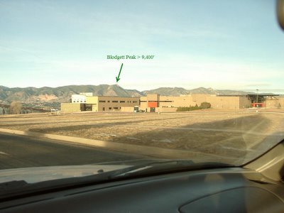
Heading out early in the day for Blodgett Peak:
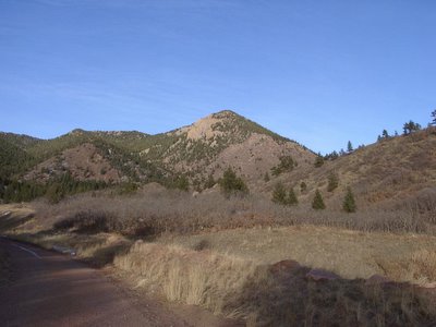
A view up the foothill I was to climb:
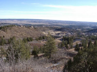
Part of the way up, looking aback down:
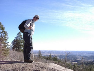
I still had on my sweatshirt here:
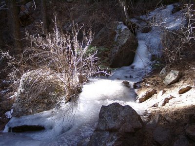
Frozen Stream:
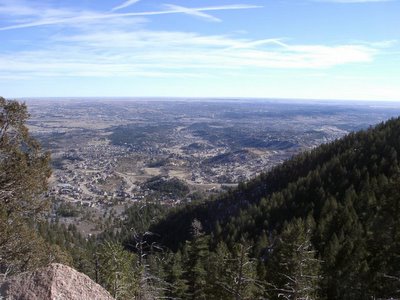
Getting up there - view down:
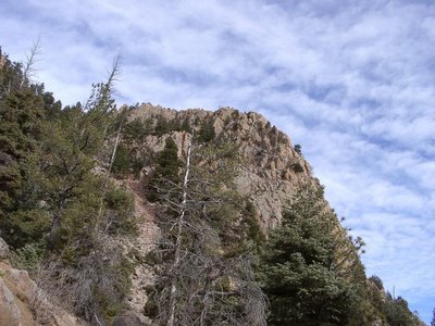
Imposing rock face:
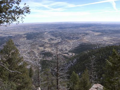
The Earth certainly does not look flat from up here:
Climbing up a steep, narrow boulder field:
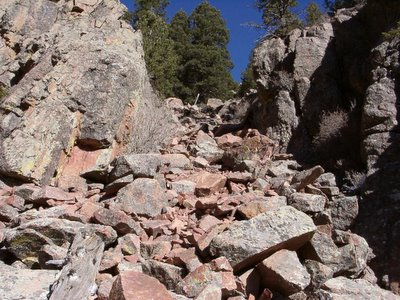
The cairns and pink ribbons guided me up this trail
Here I am at 9,000' and still a ways to go:

First peak of Pikes Peak - must be near the top:
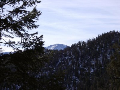
It is about 4,000' higher - but it doesn't look more than a few hundred feet higher from this angle.
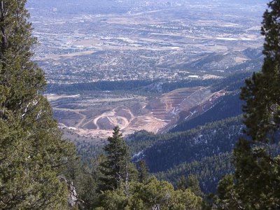
Where Black Forrest meets Briargate in Northern Colorado Springs:

A very different view on the quarry:
View of Pikes Peak (14,110') from Blodgett Peak (9,460')
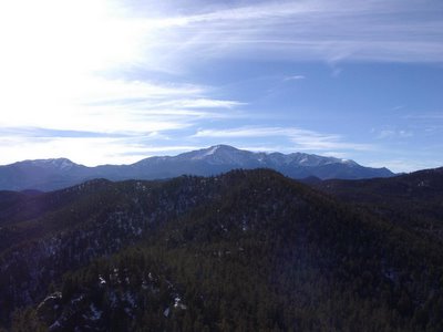
I had a 360-degree view from Blodgett Peak:
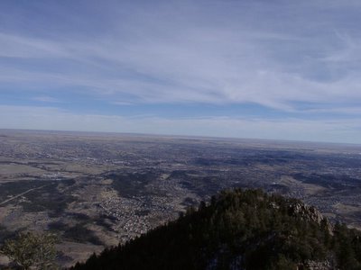
Those rocks on the hill to the bottom right are the rocks I was looking up at in the earlier pictures.
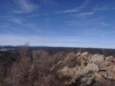
Looking West into the Rockies - Snow capped mountains in the distance:
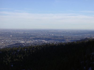
Heading down - view of Downtown Colorado Springs:
It is slower going than I expected. I spend more time than I wanted looking for the first 4 geocaches - I only found 2 of them. The trail is Icy and muddy. It is not a great trail - it is not well prepared like the trail going up Pikes Peak. It is very easy to lose the trail - subtle paths seem to go off in many directions. In many places, the trail seems to go up very steep, loose gravel. Step up, slide back 1/2 way. And then I get to a rock scramble. It reminds me a little of Mohonk. I notice a cairn. At first I think it is an oddity, but then I notice another. I suddenly realize that they mark the trail. The trail the curves around the side of the peak, and climbs very steeply up a boulder field. It is hard work, and takes me much longer than I expect. But I keep going. The peak is calling to me. I've got to make it.
After many, many hours, I make it to the top. I decide I need to rest and eat a bit before I try to find the cache on top. I've noticed that the exposed rocks in Colorado seem to make the GPS jump around a lot. But I try a few times, and finally find the cache. Interesting stuff in the cache, but nothing I want to trade for. I sign the 3rd and final log of the day, and head down. I figure there has to be a better way down than the boulder field. I head West, in the opposite direction I need to head, and find a nice trail leading down the back side of Blodgett Peak. The trail quickly curves around, and is much easier than the boulders. Even with the GPS, I managed to lose the trail when I was most of the way down, adding another half hour or so to my day.
But it was worth it - even the being really sore 2 days later - I did it! I made it up Blodgett Peak! It showed that I've lost a bunch of conditioning I had when I did Pikes Peak. But not too much. I'm amazed and glad at how far I can keep going. I hope to get some more hikes in this winter. Thanks heavens for the mild days we get during the winter here most of the time. I don't think I'll go out as long again, at least not until I try Pikes Peak again - but I'd like to keep up the level of the hike.
Heading out early in the day for Blodgett Peak:

A view up the foothill I was to climb:

Part of the way up, looking aback down:

I still had on my sweatshirt here:

Frozen Stream:

Getting up there - view down:

Imposing rock face:

The Earth certainly does not look flat from up here:

Climbing up a steep, narrow boulder field:

The cairns and pink ribbons guided me up this trail
Here I am at 9,000' and still a ways to go:

First peak of Pikes Peak - must be near the top:

It is about 4,000' higher - but it doesn't look more than a few hundred feet higher from this angle.
Where Black Forrest meets Briargate in Northern Colorado Springs:

A very different view on the quarry:

View of Pikes Peak (14,110') from Blodgett Peak (9,460')

I had a 360-degree view from Blodgett Peak:

Those rocks on the hill to the bottom right are the rocks I was looking up at in the earlier pictures.
Looking West into the Rockies - Snow capped mountains in the distance:

Heading down - view of Downtown Colorado Springs:

Comments
Michelle
www.girlandgeek.com